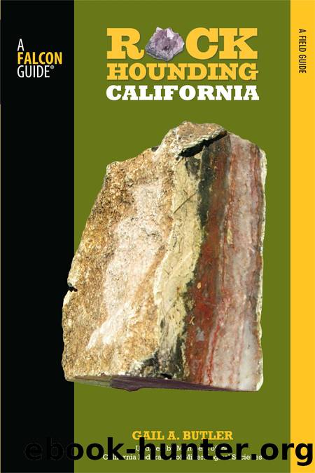
Rockhounding California by Gail A. Butler

Author:Gail A. Butler
Language: eng
Format: epub
ISBN: 9780762786237
Publisher: Falcon Guides
SITE
26
Lavic Siding Jasper and Agate
(See map on page 82.)
Land type: Desert
Elevation: 1,900 feet
GPS: N34 42.795' / W116 19.408'
Best season: October to April
Land manager: BLM
Material: Colorful jasper and agate
Tools: Rock pick, collecting bag
Vehicle type: Four-wheel drive
Brecciated and ribbon Lavic jasper. PHOTO BY SHEP KOSS
Special attractions: Pisgah Crater volcanic tube exploration
For more information: USGS Sunshine Peak and Lavic Lake
Lore: Warriors carried jasper and agate for strength and courage.
Finding the site: Note: The crossing of Lavic Road over the railroad tracks is no longer available. Continue west on the National Trails Highway from Ludlow for 10 miles to where the railroad tracks cross the highway. Just south of the tracks turn left onto the railroad maintenance road and head east for about 1.5 miles back to Lavic Road, which is the first main graded road to the right. Turn right; travel this road for about 1 mile and park. Do not turn onto any of the side roads unless in a high-clearance 4x4, as many are sandy. Collecting in this area is widespread. Do not travel much farther south than 1 mile on Lavic Road from the railroad tracks, as this area borders an off-limits military base.The military has a large sign posting the boundary. Caution: This base is a weapons test site. Avoid any large cylindrical objects, which may be unexploded ordnance.
Download
This site does not store any files on its server. We only index and link to content provided by other sites. Please contact the content providers to delete copyright contents if any and email us, we'll remove relevant links or contents immediately.
The Lonely City by Olivia Laing(4798)
Animal Frequency by Melissa Alvarez(4459)
All Creatures Great and Small by James Herriot(4311)
Walking by Henry David Thoreau(3952)
Exit West by Mohsin Hamid(3823)
Origin Story: A Big History of Everything by David Christian(3687)
COSMOS by Carl Sagan(3617)
How to Read Water: Clues and Patterns from Puddles to the Sea (Natural Navigation) by Tristan Gooley(3460)
Hedgerow by John Wright(3352)
How to Read Nature by Tristan Gooley(3333)
The Inner Life of Animals by Peter Wohlleben(3309)
How to Do Nothing by Jenny Odell(3293)
Project Animal Farm: An Accidental Journey into the Secret World of Farming and the Truth About Our Food by Sonia Faruqi(3212)
Origin Story by David Christian(3194)
Water by Ian Miller(3177)
A Forest Journey by John Perlin(3067)
The Plant Messiah by Carlos Magdalena(2926)
A Wilder Time by William E. Glassley(2857)
Forests: A Very Short Introduction by Jaboury Ghazoul(2836)
